AIR QUALITY AND CLIMATE DATABASE SERVICES
Database Services
-
Air Quality Forecast
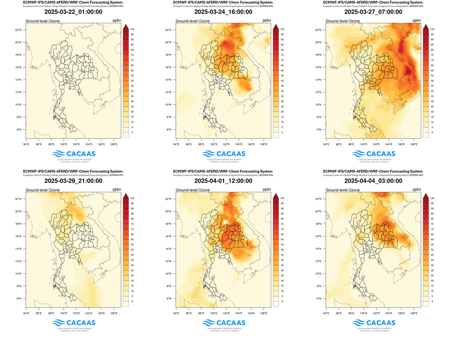
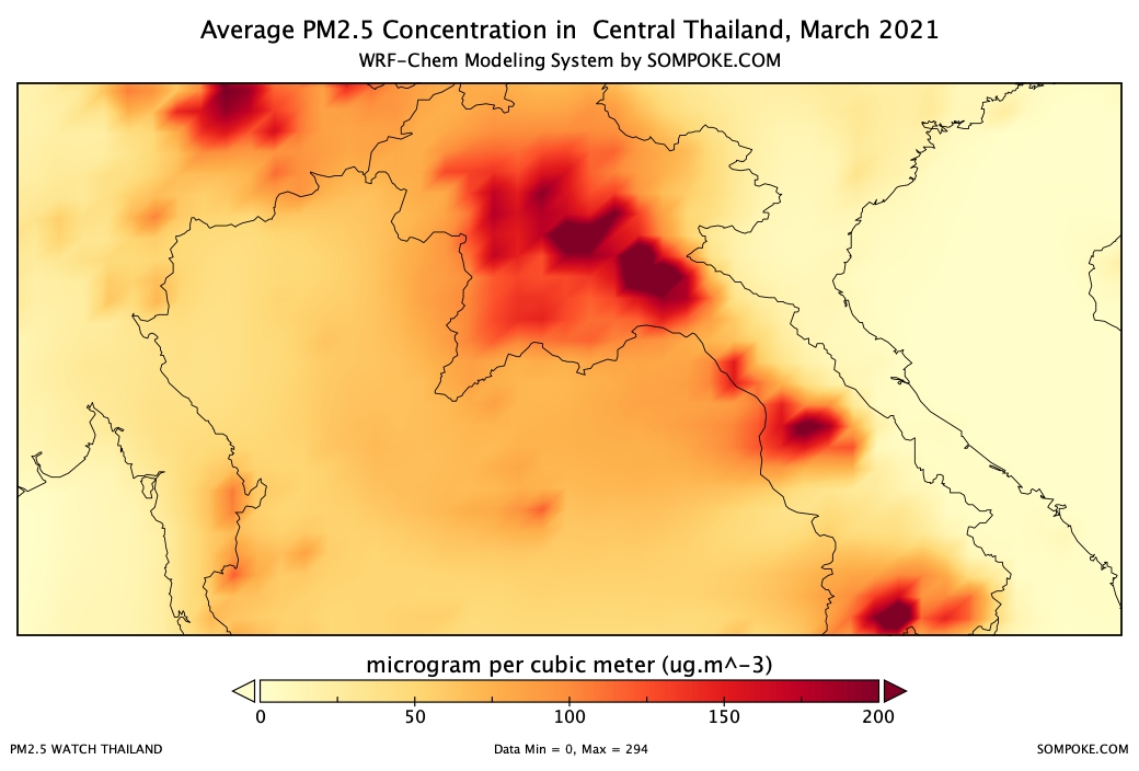
A WRF-Chem Modeling System is configured through suitable physics parameterized schemes for PM2.5 air quality forecasting in the tropics focusing on Thailand and the Lower Mekong Sub-region.
-
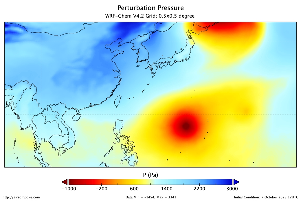
Weather Forecast
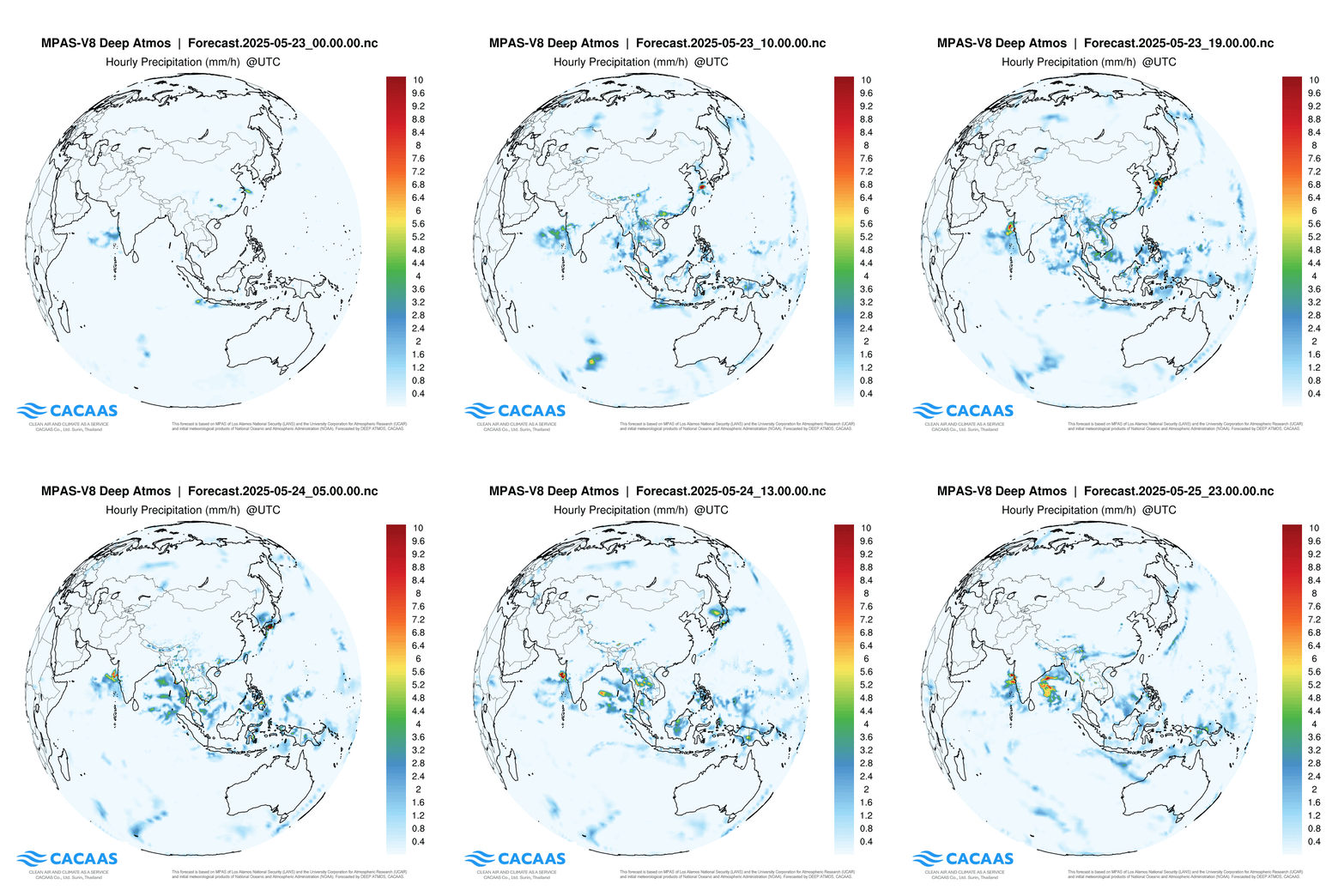
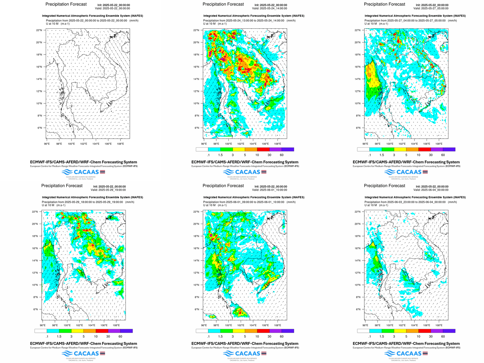
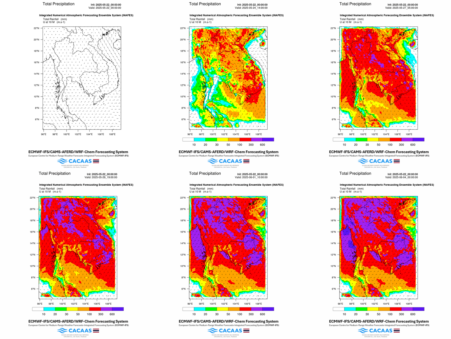
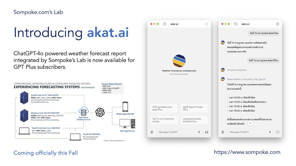
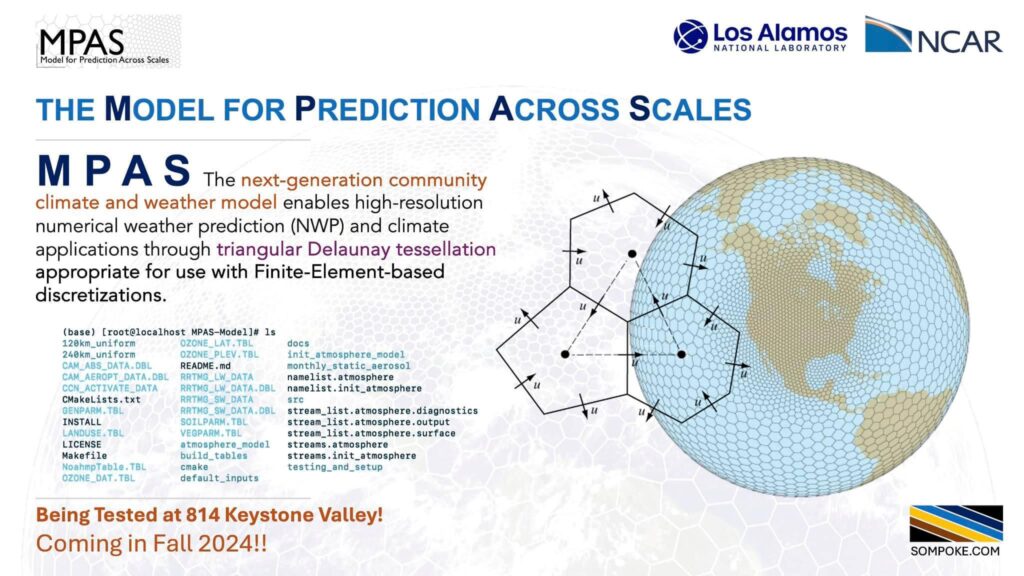
A WRF model with a consideration of cloud-aerosol Interaction coupled with a chem model is applied for a 15-day weather forecast using a Global Forecasting System data complemented with the REANALYSIS dataset (FNL).
-
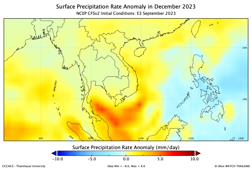
Seasonal Climate Forecast
Seasonal climate anomalies are analyzed from the forecasted climate data products from the NCEP coupled forecast system model version 2 (CFSv2) and the WCRP Coupled Model Intercomparison Project-Phase 6 (CMIP6).
-
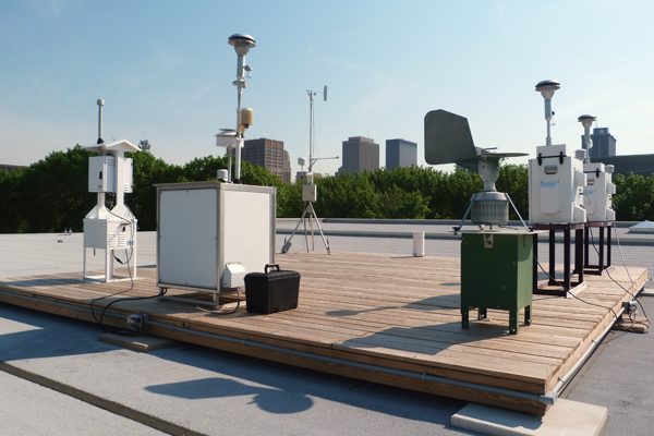
Air Quality Monitoring
Available air quality monitoring data measured at different sites in Thailand are retrieved and reported in the Thailand Air Quality Index. The PM2.5 concentrations are utilized for managing the emission control at sources.
-

Health Impact Assessment
Haze pollution has posed various severe adverse health effects to human health. Machine learning is employed to estimate and forecast the relative risk of short-term health impacts including triggered mortality cases.
-
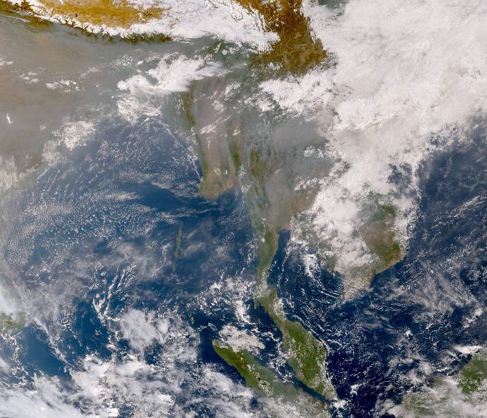
Atmospheric Sensing
Various atmospheric remote sensing products from different available satellite products are processed and analyzed to report the daily summary of atmospheric status within thailand and the region.
-

Emission Inventory
Near Real-Time Emissions from various sources are estimated as the magnitude of hourly emissions for the WRF-Chem forecasting system. The sectoral emissions from the previous years are archived and processed.
-
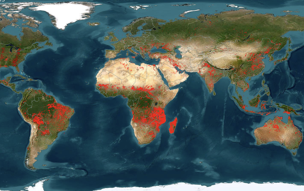
Hotspot Detections
The hotspots from various detected satellites are analyzed for the biomass burning emissions from agricultural activities and forests at the near real-time emissions for the WRF-Chem Forecasting System.
-
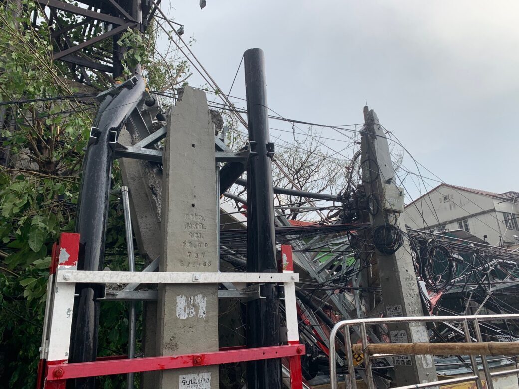
Thailand Disaster Statistics
Daily summaries of provincial disaster statistics in Thailand are collected and analyzed. The Power BI is used to report the information for the policy planning and decision-making process from risk to resilience: E2E+EWS.
Become an Ultimate Member
Exchange and share the data for our better community driven by reliable valid scientific data related to air quality and climate.
To access High-level Restricted Contents,

